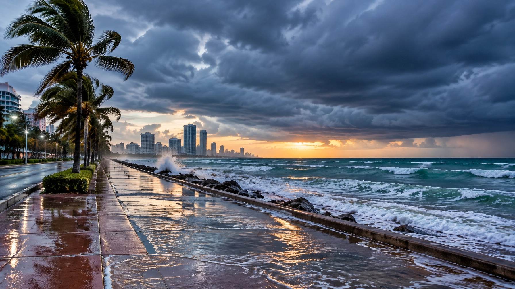
Hurricane Lana strengthened to a Category 1 storm Monday as South Florida prepared for a potentially dangerous combination of hurricane conditions, extreme king tides, coastal flooding and heavy rain.
The National Hurricane Center projects Lana’s eye could graze South Florida by Friday. The storm is moving over record-warm Gulf Stream waters, creating the possibility of rapid intensification before it reaches the region. A hurricane watch is now in effect for Miami-Dade and Broward counties.
Residents should not wait for the forecast to become more certain before preparing. Officials are urging people in evacuation Zones A and B to begin taking action immediately, particularly those living near the coast, in low-lying neighborhoods, mobile homes or areas that regularly flood during king tides.
What forecasters are watching
Lana is currently a Category 1 hurricane, with sustained winds of at least 74 mph. Under the Saffir-Simpson Hurricane Wind Scale, Category 1 storms can produce very dangerous winds and damage, including downed trees, power outages and damage to weaker structures.
The immediate concern is that Lana could strengthen quickly over unusually warm Gulf Stream waters. The National Hurricane Center defines rapid intensification as an increase of at least 35 mph in a storm’s maximum sustained winds within 24 hours.
The storm’s projected path could bring the eye close to South Florida by Friday, but residents should not focus only on the center line of the forecast cone. The strongest winds, heaviest rain and most dangerous water can extend well away from the eye.
The National Hurricane Center and National Weather Service Miami-South Florida remain the most reliable sources for updated forecasts, watches, warnings and local hazard information.
Hurricane watch issued for Miami-Dade and Broward
A hurricane watch means hurricane conditions are possible in the designated area. According to the NHC glossary, a hurricane watch is generally issued about 48 hours before tropical-storm-force winds are expected, because outdoor preparations become difficult once winds reach 39 mph.
A hurricane warning means hurricane conditions are expected. It is generally issued about 36 hours before tropical-storm-force winds arrive.
For residents, the distinction is practical:
- During a watch: Finish preparations, confirm evacuation plans, secure outdoor items and monitor official updates.
- During a warning: Preparations should already be complete. Follow evacuation orders and move to a safe location if directed.
- During either alert: Do not rely on the storm’s current category alone. Rainfall, storm surge, flooding and wind gusts can create dangerous conditions even if Lana remains a Category 1.
Miami-Dade’s mayor has also signaled that an overnight curfew could be considered if Lana reaches Category 2 strength. No curfew should be assumed unless it is formally announced by county or municipal officials.
King tides are already raising flood concerns

Extreme king tides are already causing coastal flooding in parts of South Florida. These unusually high astronomical tides can push water into streets, parking areas, seawalls and ground-level properties even before a storm arrives.
Lana could worsen those conditions through:
- Higher water levels along Biscayne Bay, canals and the Atlantic shoreline
- Coastal flooding during high-tide cycles
- Heavy rain falling onto drainage systems that are already under pressure
- Rough surf and wave overtopping near seawalls and beachfront roads
- Flooded or impassable low-lying streets, particularly on barrier islands
Residents who have experienced flooding during recent king tides should move vehicles, electronics, furniture and other valuables to higher ground now. Do not assume that a familiar route will remain passable during Friday’s highest tides or heaviest rain.
Flood risk is not limited to beachfront neighborhoods. Water can collect in low-lying inland areas, drainage basins and communities near canals. Residents following Everglades news should also monitor updates related to heavy rainfall, water levels and road conditions in western and interior portions of the region.
Avoid the beach, sandbars and inlets
Miami Beach lifeguards rescued 12 swimmers as rip currents intensified ahead of the storm. Rough surf and shifting sandbars can create dangerous conditions even when the shoreline appears calm.
Residents and visitors should stay out of the water, avoid sandbars and keep away from jetties, piers and inlets. Rip currents can pull swimmers away from shore quickly, while rising surf can sweep people from rocks and seawalls.
Beach closures, red-flag warnings and local advisories may change quickly. Check municipal and National Weather Service beach conditions before making any plans. Many South Florida events scheduled near the water may be postponed or canceled as conditions deteriorate; attendees should confirm directly with organizers and local authorities.
Evacuation Zones A and B should prepare now
Residents in evacuation Zones A and B are being urged to prepare immediately. Evacuation zones are based primarily on storm-surge risk, not on whether a home is built to withstand hurricane winds.
Use Florida’s official Know Your Evacuation Zone tool to check your address. The state also provides county maps for Miami-Dade and Broward.
Before an evacuation order is issued:
- Decide where you will go, such as a friend’s home farther inland or an official shelter.
- Plan at least two routes and avoid roads that routinely flood.
- Arrange transportation for children, older adults, people with disabilities and pets.
- Move important documents, medications and essential equipment with you.
- Leave early if officials issue an order. Waiting for conditions to worsen can make evacuation more dangerous.
Evacuation zones are different from FEMA flood-risk zones. A home outside an evacuation zone can still flood from heavy rain, tidal water or drainage problems.
Sandbags, flood insurance and property preparation

Sandbags can help redirect shallow water around doorways, garages and other low openings, but they are not a substitute for evacuation or a permanent flood barrier. Counties and cities may announce sandbag distribution sites, limits and operating hours as the storm approaches. Check Broward County’s hurricane dashboard and Miami-Dade emergency updates before traveling to a site.
Residents should also:
- Bring in patio furniture, trash bins, umbrellas, plants and loose decorations.
- Clear debris from storm drains on private property without entering moving water.
- Charge phones, backup batteries and medical devices.
- Refill prescriptions and gather drinking water, shelf-stable food, flashlights and batteries.
- Fuel vehicles before demand increases.
- Use generators outdoors, away from doors, windows and vents. Never operate one inside a home, garage or enclosed balcony.
- Photograph property and belongings for insurance records.
Standard homeowners insurance generally does not cover flood damage. Separate flood insurance is typically required, and many policies have waiting periods. Residents should review their policy now and contact their insurer or agent with questions; purchasing coverage after flooding begins will not provide immediate protection.
Transit and school updates may change quickly
Public transportation can be affected by flooding, high winds and evacuation operations. Miami-Dade residents should monitor Miami-Dade Transit, while Broward residents should use the county’s official hurricane dashboard and transit alerts.
Bus, rail, paratransit and ferry service may be reduced or suspended when conditions become unsafe. Do not wait until the last departure to evacuate.
Families should also monitor Miami-Dade County Public Schools and Broward County Public Schools for announcements about closures, early dismissals, canceled activities, shelter use and reopening schedules. School calendars should not be treated as confirmation that classes will operate during a storm threat.
Keep checking official updates
Forecast tracks and storm strength can change, especially when a system is moving over warm water. Residents should check official county alerts, the National Hurricane Center and the National Weather Service several times each day.
The key message for South Florida is straightforward: Lana is still a developing threat, but the time to prepare is now. King tides and coastal flooding have already made some areas vulnerable. Residents should secure their homes, confirm evacuation plans and avoid beaches and waterways before conditions deteriorate later this week.