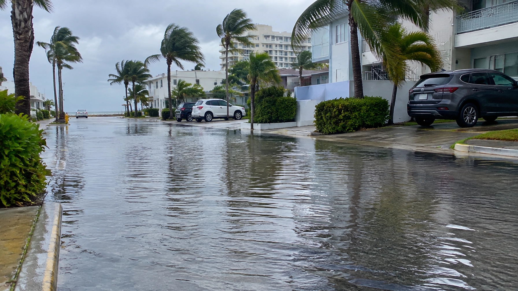
Illustrative image; not a photograph of this week’s flooding.
South Florida’s king-tide flooding is already affecting coastal streets and businesses, with the highest tides of the year forecast for Tuesday morning. On Sunday, the Middle River gauge at Sunrise Boulevard in Fort Lauderdale registered 2.51 feet at 8:30 a.m., above its 2.5-foot major flood stage threshold, according to the Fort Lauderdale Journal and the NOAA gauge.
The National Weather Service has issued a coastal flood warning for coastal areas of Miami-Dade, Broward and Palm Beach counties through 8 p.m. Tuesday, Oct. 27. The NWS Miami warning says flooding may affect roads, low-lying homes and businesses, and some critical infrastructure.
Fort Lauderdale’s highest tide of the year is forecast around 9:45 a.m. Tuesday, while Miami-Dade’s peak is expected around 10:30 a.m., according to local tide forecasts. The South Florida Water Management District identifies Oct. 27 as the annual maximum predicted peak for South Florida’s east coast.
Flooding is already affecting coastal communities
The Middle River reading marks a major flood-stage threshold at that gauge; it does not mean the river has overflowed in the way a rain-swollen river might. NOAA identifies the Middle River station as a tide gauge and lists 2.5 feet above mean higher high water as its major flooding level. The Sunday reading of 2.51 feet was preliminary, the Fort Lauderdale Journal reported.
In Hollywood, the flooding has been visible on streets and at storefronts. NBC 6 reported that water covered streets, including Franklin Street and Ocean Drive, and began entering nearby businesses. One resident described water as roughly knee-deep and said they had to clear water from an office.
CBS Miami reported that Hollywood Beach businesses put out sandbags and barriers, but water still reached business areas. A driver told CBS, “We had to drive in two feet of water.” The station also reported flooding on Ocean Drive and warned that saltwater can damage vehicle engines. NBC 6’s report and CBS Miami’s coverage describe impacts despite advance preparations.

Illustrative image; not a photograph of a specific Hollywood Beach business.
The effects are not limited to Broward. A Palm Beach Post photo gallery documented large swells and king-tide surge in Palm Beach County on Sunday.
Tuesday morning is the key tide window
The City of Fort Lauderdale’s higher-tide notice lists Tuesday’s morning peak at about 9:45 a.m.; Miami-Dade’s is forecast around 10:30 a.m. Water can remain high around the peak, so residents should expect the risk to extend beyond the exact tide time.
The NWS warning says numerous road closures are possible and that low-lying homes, businesses and critical infrastructure may be inundated. Its flood-safety guidance advises drivers not to go around barricades or drive through water of unknown depth. Officials also urge residents to move vehicles to higher ground and stay away from coastal areas.
The threat is compounded by weather. The NWS Miami forecast discussion describes strong northeast winds, with gusts reaching about 40 mph, alongside showers. The agency says the winds and coastal rain could worsen water levels and flooding of roads and property. That combination is already being reported in Hollywood: CBS Miami said strong onshore winds and downpours were expected to add to the flooding risk.

Illustrative image; not a photograph of a current road closure.
This is a non-tropical flooding setup
The flooding is not being driven by an approaching tropical cyclone. In its Monday outlook, the National Hurricane Center said tropical cyclone formation was not expected in the Atlantic, Caribbean or Gulf of America during the next seven days. The NHC outlook therefore points to no tropical system as the cause of the current impacts.
Instead, the NWS forecast discussion attributes the persistent winds to a tight pressure gradient across Florida. Combined with the full-moon king tides, that onshore flow pushes water toward the coast. The water management district’s 2026 outlook identifies Oct. 27 as the east coast’s annual maximum predicted tide peak.

Illustrative image; not a photograph of this week’s Palm Beach County surf.
What residents should do
The NWS advises residents in warned areas to protect flood-prone property and avoid driving through floodwater or around road barricades. Because the water may be saltwater, officials and local broadcasters warn that driving through it can damage vehicles.
- Move vehicles to higher ground. NBC 6 and CBS Miami report that local officials have urged residents to relocate cars before flooding reaches streets.
- Do not drive through standing water. Follow NWS guidance and turn around rather than entering water of unknown depth.
- Avoid coastal areas during high tide. The Florida Division of Emergency Management, quoted by NBC 6, urged people to stay away from beaches and coastal areas amid flooding, strong winds and dangerous surf.
- Check local conditions before traveling. The NWS warns that road closures and flooding of low-lying property are possible.
The coastal flood warning remains in effect through 8 p.m. Tuesday, and the forecast peak is still ahead. Sunday’s Middle River gauge reading and the reported flooding in Hollywood show that impacts have already reached neighborhoods and businesses before Tuesday morning’s highest tides.