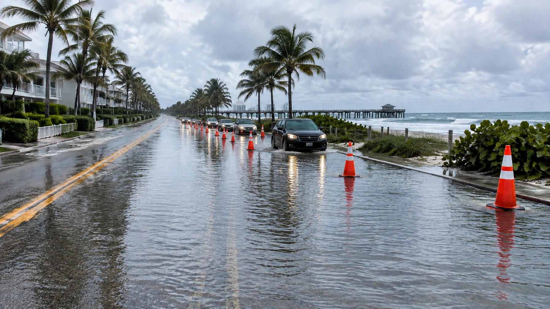
Illustrative image: Flooded coastal street scene in South Florida; not a photograph of a specific location from Friday's reports.
South Florida’s king-tide flooding stopped being a forecast Friday and became street-level reality. Water covered parts of Miami streets and reached parking lots, roads and apartment complexes in Broward, according to WSVN 7News, and the region now faces the wettest weather and the highest tides of the current stretch still to come.
As of Saturday morning, the National Weather Service Miami had a Coastal Flood Watch in effect for coastal Broward and Miami-Dade counties through Monday evening, with a Coastal Flood Advisory also covering the same coast. WSVN meteorologists expected Sunday to be the wettest day, while officials warned that the highest tides of the season are likely Tuesday and Wednesday. The combination means Friday’s flooding may not be the last disruption for drivers and businesses near the coast.
Friday’s flooding: Miami streets to the Dania Beach pier
In Miami, WSVN reported that inches of water covered the roadway just off Northeast 79th Street, making the road nearly invisible to drivers. Near Northeast 10th Avenue and 80th Street, water covered streets in every direction. Orange cones marked the roadway as drivers worked their way through standing water during the Friday commute.
In Broward, flooding affected parking lots, roads and apartment complexes in Hallandale Beach off Ocean Drive, along the Hollywood Beach Broadwalk and near the Dania Beach pier, WSVN reported. PompanoBeach.News also relayed the reported flooding in those locations.
The immediate concern Friday was water on streets and around buildings in low-lying coastal areas, where drivers can encounter hazards that are difficult to judge from behind the wheel.

Illustrative image: A generic South Florida street during flooding; not a photograph of Friday’s reported locations.
The watch runs through Monday evening
The National Weather Service Miami Coastal Flood Watch covers coastal Broward and Miami-Dade through Monday evening. In its Saturday morning message, the agency said significant coastal flooding is possible and warned that numerous roads may close and low-lying homes, businesses and some critical infrastructure could be inundated. Its guidance advises people not to drive around barricades or through water of unknown depth.
The timing of the next few days matters as much as the tide tables. WSVN meteorologists expected Sunday to be the wettest day, and the full moon is Monday, Oct. 26. In its Saturday morning forecast discussion, the National Weather Service Miami said moderate coastal flooding is expected with each high tide cycle, that major coastal flooding is possible late this weekend into early next week, and that heavy rain and isolated flash flooding are possible across the east coast metros Sunday through Monday, with wind gusts over 35 mph possible Sunday through Monday.
The driver behind all of it is a tightening pressure gradient: strong surface high pressure over the mid-Atlantic states and deepening low pressure over the northern Caribbean are squeezing Florida’s coastline between them, strengthening northeasterly winds that push water onshore, the forecast discussion said. Rain falling when waterways are already high makes it harder for streets to drain. The threat is non-tropical; high tides, wind and rain are all part of the same picture.
The highest predicted tides are not necessarily the moment of greatest street flooding. NBC 6 noted that the tidal peak could arrive Tuesday, roughly a day after the full moon, but that stronger onshore winds and heavier rain could produce worse flooding Sunday or Monday, even with slightly lower astronomical tides. On the preparation side, CBS Miami reported that Fort Lauderdale’s chief resiliency officer, Dr. Nancy Gassman, said the city is expecting tides “higher than we’ve ever seen” through Tuesday and Wednesday, and that flooding will be much more widespread if rainfall arrives at the same time as high tide.

Illustrative image: A generic coastal road with standing water; not a photograph of Dania Beach or another reported site.
Hollywood puts barriers and pumps to work
Hollywood has put its Broadwalk defenses to work before the worst of the water arrives. Portable Tiger Dam barriers now line low-lying sections of the beachfront, and the city has deployed auxiliary pumps, according to CBS Miami. City spokeswoman Joann Hussey told the station that the permanent pumps are all operational.
Sandbags have been lined up outside the Ocean Blu store, which took about a foot of water during a smaller king tide last month, CBS Miami reported. The city may also open beach parking garages so residents can move vehicles away from corrosive saltwater. That option was described as a possibility, not a confirmed opening.
The National Weather Service’s forecast discussion warned that coastal flooding could persist into the start of the week. For residents in flood-prone areas, local officials have advised moving vehicles to higher ground, a recommendation also relayed by WSVN. The Weather Service cautions people to avoid floodwater and follow road barricades.

Illustrative image: A generic beachfront business preparing for possible flooding; not a photograph of a specific Hollywood Broadwalk store.
Broadwalk businesses prepare for another high-water test
For businesses on the Hollywood Broadwalk, the weekend is another test of preparations that got an early workout. In NBC 6’s report, Beach Zone souvenir store worker Luisa Martinez said flooding three weeks ago sent water into the store despite sandbags.
“It was amazing, we can't believe. All the water was coming, and they said, 'Are you scared?' Of course,” Martinez told NBC 6. Now, she said, the store is ready: “We didn't know about what can I do, but now we are prepared everything. We have towels, we have an item to put outside the store, and we have sandbags.”
“We hope that the next day we can open, we don't know, all depends, of course, the water but we are prepared,” she said.
At Hausmash, a newer Broadwalk business, employee Merey Sarybek told NBC 6 that the protections already out on the beach gave her confidence: “I can see there's still protectors on the beach, and we're using similar tools to fight, so I believe our ways will work.” The station also reported that city staff had gone store to store to check that owners were prepared.
Those preparations are aimed at reducing damage, not guaranteeing that shops or roads will stay dry. As CBS Miami reported, the severity of flooding will depend in part on whether rain arrives at the same time as high tide.
What to watch next
The National Hurricane Center reported Saturday that “[t]here are no tropical cyclones in the Atlantic at this time” (NHC). The flooding threat discussed here is not from a tropical system. It is the developing combination of king tides, northeasterly winds and rain, according to the National Weather Service Miami forecast discussion.
For residents and commuters, the immediate markers are the Sunday rain forecast and the Coastal Flood Watch through Monday at 8 p.m., followed by the possibility of especially high tides Tuesday and Wednesday. Check current local alerts before traveling, keep vehicles on higher ground where possible, and do not drive through standing water or around barricades, the National Weather Service advises.