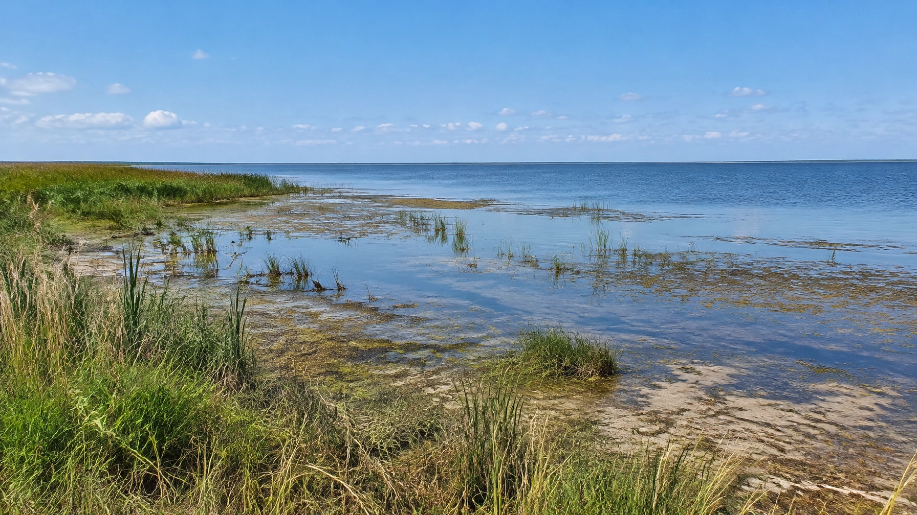
Lake Okeechobee is low for late October, but its level is inching up, not falling. The more pressing concern is what that low starting point means farther south: much of the southern Everglades is unusually dry, while Florida Bay remains saltier than its recent seasonal average.
That makes the current picture a mixed one. No Lake Okeechobee water is being released to the St. Lucie or Caloosahatchee estuaries, avoiding the damaging lake discharges that can stress coastal ecosystems. But the southern Everglades and Florida Bay are heading into the dry season with less freshwater than they need.
The lake is rising slowly, but remains well below average
The U.S. Army Corps of Engineers’ Jacksonville District daily status report put Lake Okeechobee at 12.50 feet NGVD29 on Oct. 23, unchanged from the previous day and up from 12.41 feet a week earlier. The long-term average for Oct. 23-based on 1965–2007 data, is 15.06 feet. The lake is therefore about 2.6 feet below that average.
The level is moving upward, but from a low baseline. In its Oct. 21 Weekly Environmental Conditions memo, the South Florida Water Management District reported a lake stage of 12.48 feet NGVD29 on Oct. 18, up 0.17 feet from the prior week and 0.93 feet from a month earlier.
The lake remains in the water shortage management band: an operating range used in water-management planning, not a public warning or a prediction that a shortage declaration is coming. On Oct. 18, the stage was 0.41 feet below the band’s upper limit and 1.07 feet below the ecological envelope.
Why a low lake matters downstream
The Lake Okeechobee system connects water moving through the Kissimmee chain and surrounding canals to the lake, the Water Conservation Areas (WCAs), the Everglades and coastal estuaries. But a low lake does not mean water can simply be sent south wherever it is needed. The lake’s level, operating guidance, conditions in the receiving areas and available treatment capacity all matter.
The Kissimmee River was the largest identified inflow in SFWMD’s Oct. 18 accounting, at an average 1,800 cubic feet per second through S-65E. Other inflows included backflow from the C-44 Canal and L-8 Canal. For Oct. 23, USACE reported total structure and creek inflows of 3,481 cfs.
At the same time, lake releases to both coasts were zero: the current schedule showed 0 cfs west through S-79 and 0 cfs east through S-80. The seven-day average outflow was 156 cfs, all categorized as “other,” with none going west or south. SFWMD also reported zero average daily outflows, excluding evapotranspiration, for the seventh consecutive week.
With the lake below its ecological envelope, there is no current lake water being sent south to the WCAs or the bay. SFWMD’s memo also noted that the stormwater treatment areas had no capacity for lake releases that week.

The coastal estuaries get a reprieve
For the St. Lucie and Caloosahatchee estuaries, the absence of lake releases is the clearest positive in the latest figures. The St. Lucie received an average 2,090 cfs over the week covered by SFWMD’s memo, all from basin and tidal runoff, with no Lake Okeechobee inflow. The Caloosahatchee averaged 2,124 cfs, also with no lake inflow.
SFWMD reported Caloosahatchee salinity within the optimal range for adult oysters at Cape Coral, Shell Point and Sanibel, and within the optimal range for tape grass in the upper estuary. Those readings describe conditions during the reporting period, not a guarantee they will remain the same.
The low lake is not good news everywhere. But this fall, it means there are no lake-driven discharges adding pressure to the two coastal estuaries.
The southern Everglades is the bigger concern
Water conditions vary sharply across the Everglades, and the same report shows both ends of that range at once. On Oct. 18, WCA-1 and WCA-2A were above the 90th percentile for water depth for this time of year. Northern WCA-3A was improving, but water depths across its southern portion remained very shallow. Most of the south-central Everglades and Everglades National Park were below the 20th percentile.
SFWMD warns that low water and stage deficits can reduce prey production, increase wildfire risk, accelerate peat oxidation and degrade the Everglades’ ridge-and-slough landscape as the dry season begins. Those are potential ecological consequences of persistent dry conditions, not a claim that each impact is already occurring throughout the system.
The operating challenge is to move water where it can help without draining areas that need to conserve it. SFWMD’s recommendations call for moving water southward where possible and conserving water in the WCAs, especially WCA-3A, while still providing freshwater to Taylor Slough and the C-111 basin.

Florida Bay is still unusually salty
Bay-wide average salinity stood at 34.8 in the SFWMD report, down 1.6 from the week before. That is a modest improvement, but the average remained 11.7 above the recent seasonal average. Salinity was also above the estimated historical average and above the 75th percentile of the 2001–2016 range in every region.
The pattern is not uniform: the eastern region was below the hypersalinity threshold, while central and western Florida Bay remained above it. SFWMD cautioned that hypersaline conditions in the north-central bay, combined with elevated temperatures, could lead to seagrass die-off if freshwater input does not continue to increase.
The bay’s salinity eased over the week, but that does not erase the larger gap. Freshwater reaching Taylor Slough and the C-111 basin can help moderate salinity and support the bay. Getting it there while conserving water in the WCAs is a balancing act, particularly with much of the southern Everglades already dry for the season.
A separate warning upstream, and a wet-weather watch
SFWMD also reported that dissolved oxygen in the Kissimmee River fell from 2.8 milligrams per liter to 0.7 mg/L. The memo identifies levels below 1.0 mg/L as potentially lethal for Florida bass and other native fish. The decline coincided with rising discharge at S-65 and S-65A, which averaged 1,800 and 2,200 cfs, respectively. This is a distinct river concern, separate from the lake’s current release schedule.
The same memo described a developing low-pressure area that could bring Atlantic moisture north, with breezy northeasterly winds and the greatest rain potential along the lower east coast from Friday night into Monday. The forecast also raised the possibility of coastal flooding as winds and swells coincide with high tides. Rain focused along the coast, however, would not necessarily provide meaningful relief to Lake Okeechobee.

The bottom line for South Florida
Lake Okeechobee is low for the date, but rising slowly. That is a starting-point problem, not an active lake crisis, and it brings one immediate benefit: no damaging lake discharges are being sent to either coast.
The harder story is unfolding south of the lake. Much of the southern Everglades remains unusually dry, and Florida Bay salinity is still well above its recent average despite a slight weekly decline. As the dry season begins, the key question is whether enough freshwater can move south to support the Everglades and bay while water is conserved in areas that also need it.